 RiverFinn
Supported waters
52 sections, 5 states.
Every river RiverFinn covers today. A section is a stretch with its own gauge, weather grid, rules and species — the unit the app scores and Finn talks about.
Montana
11 sections-
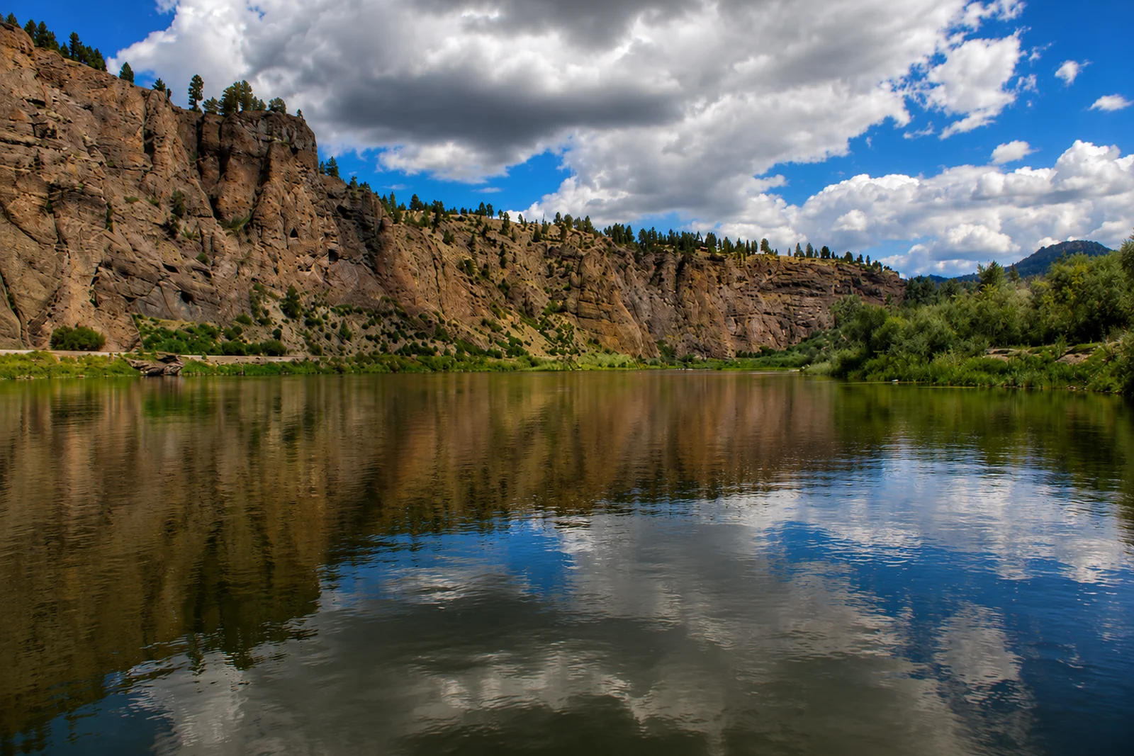 Beaverhead — Clark Canyon TailwaterBeaverhead River · FreestoneLive flow
 -
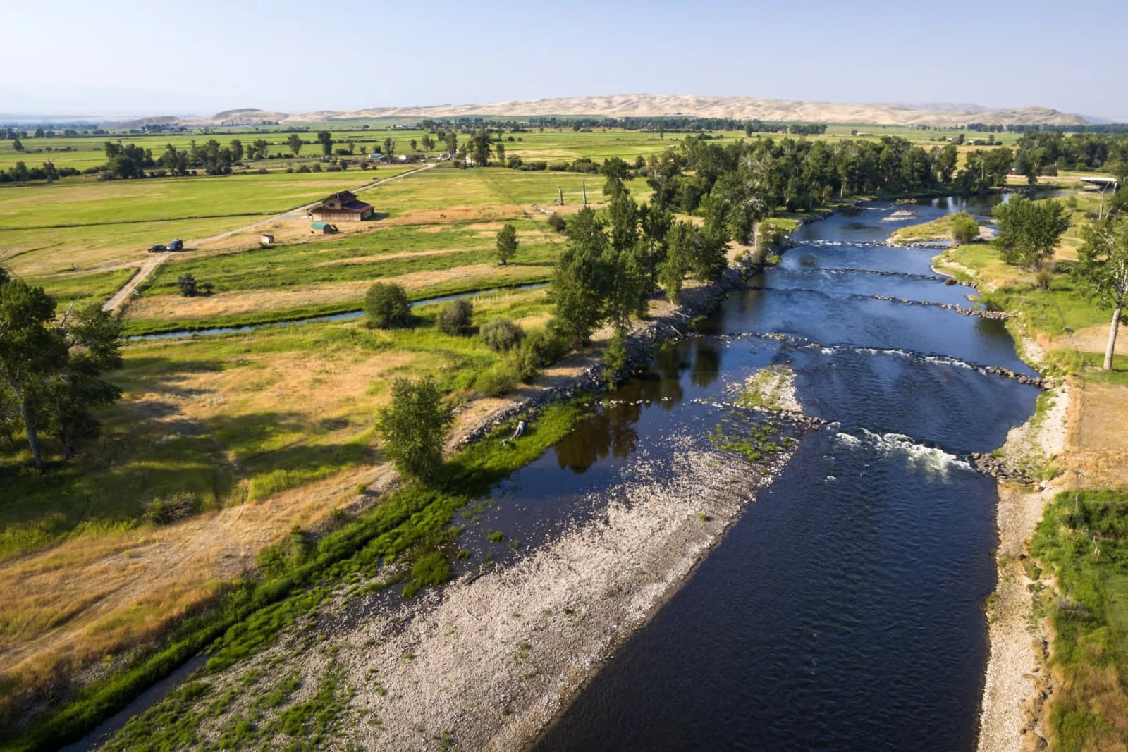 Big Hole — Glen to Twin BridgesBig Hole River · FreestoneLive flow Water temp
 -
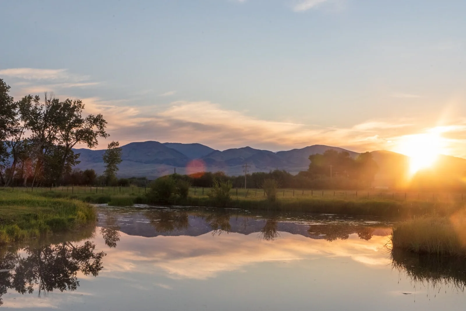 Big Hole — MelroseBig Hole River · FreestoneLive flow Water temp
 -
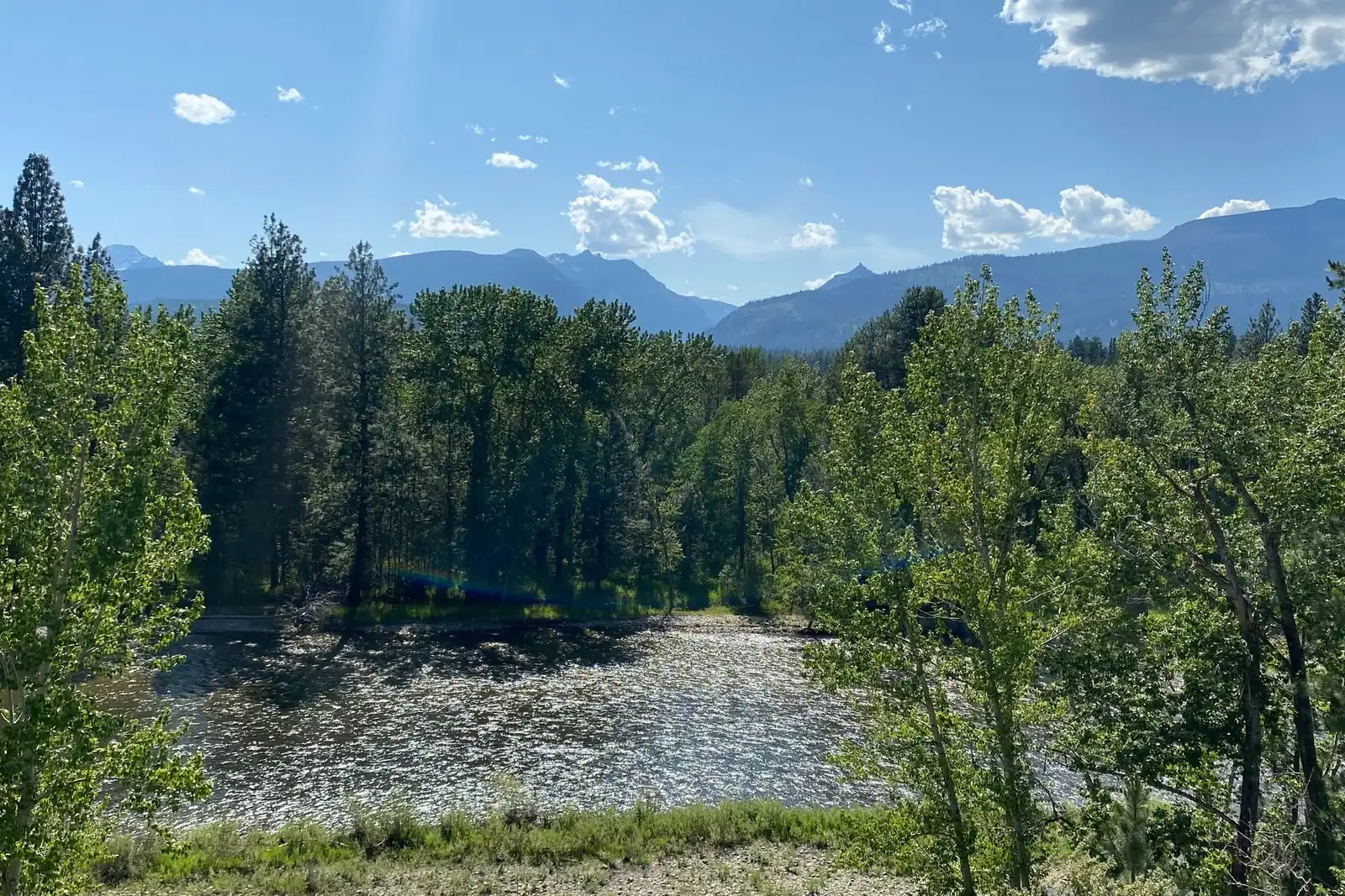 Bitterroot — Darby to HamiltonBitterroot River · FreestoneLive flow Water temp
 -
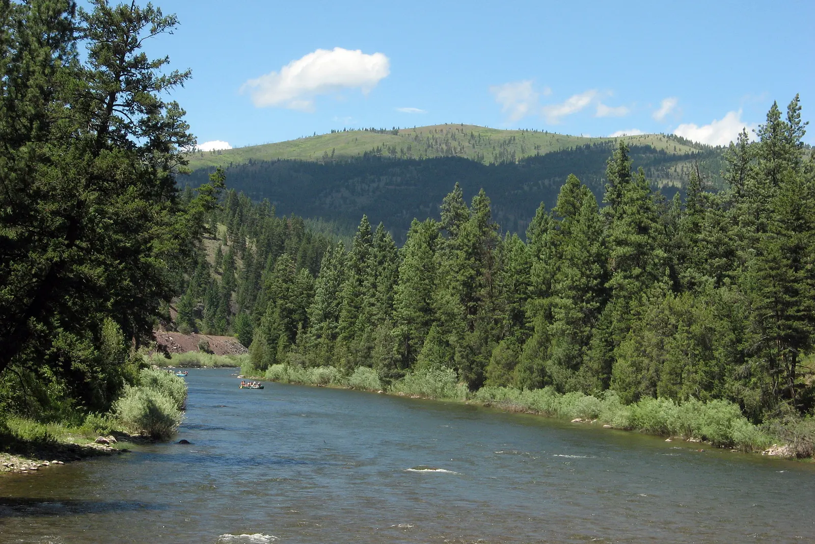 Blackfoot — Lower CanyonBlackfoot River · FreestoneLive flow Water temp
 -
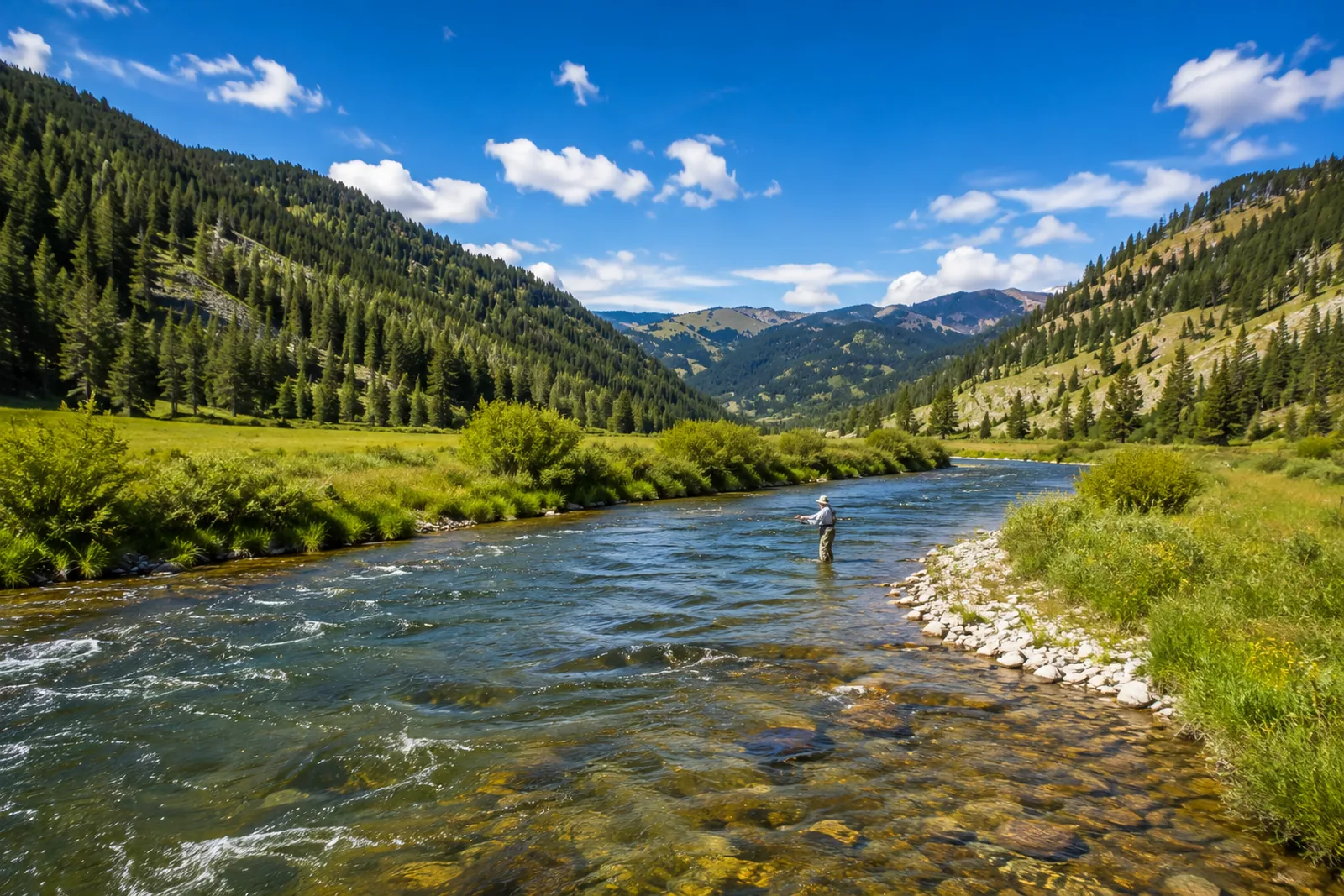 Gallatin CanyonGallatin River · FreestoneLive flow Water temp
 -
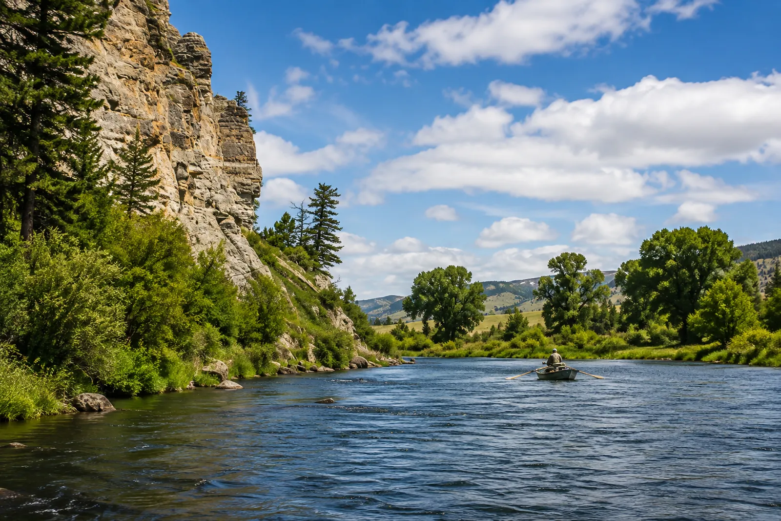 Madison — Beartrap CanyonMadison River · TailwaterLive flow Water temp
 -
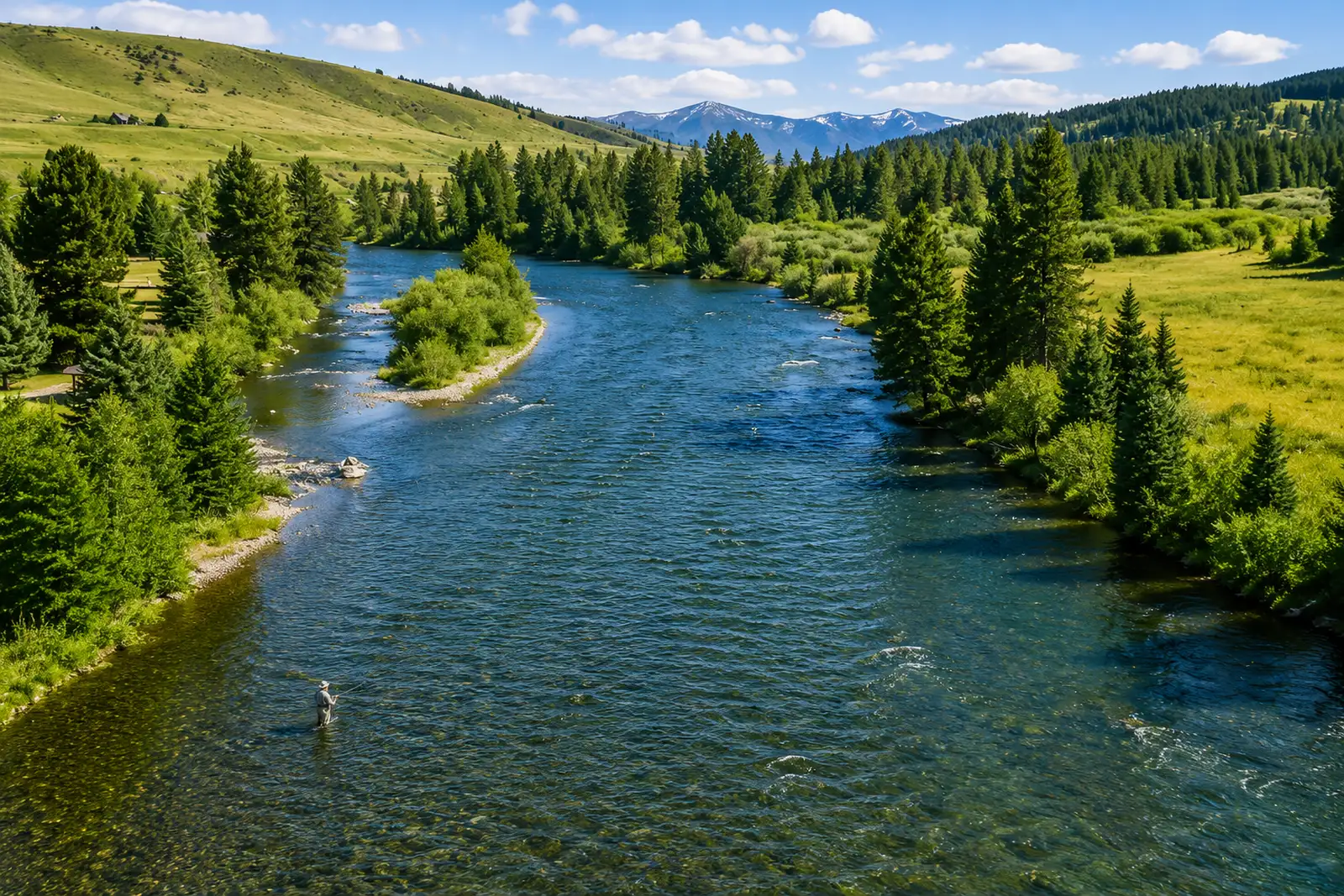 Madison — Below HebgenMadison River · TailwaterLive flow Water temp Free in full
 -
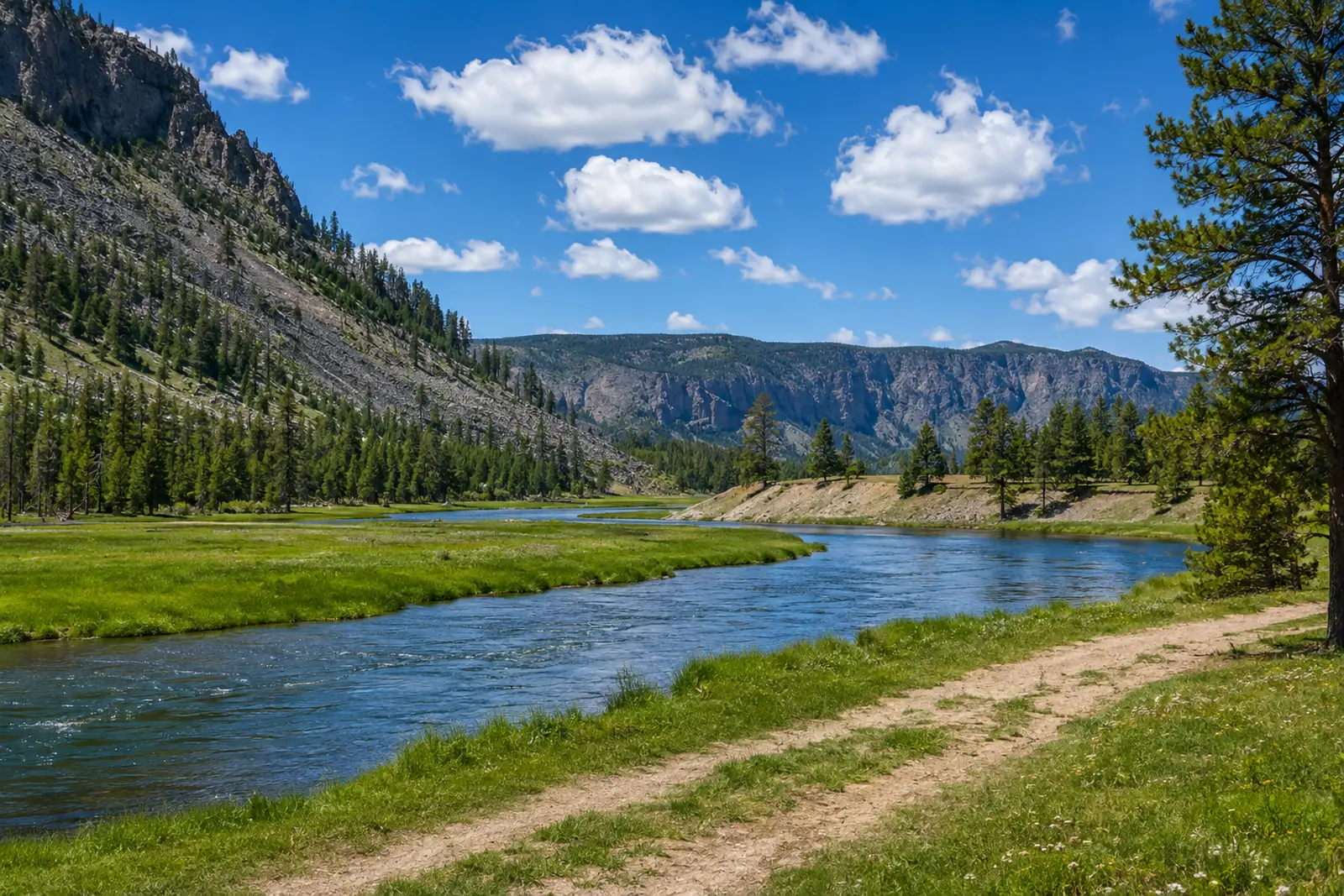 Madison — Varney to EnnisMadison River · FreestoneLive flow Water temp
 -
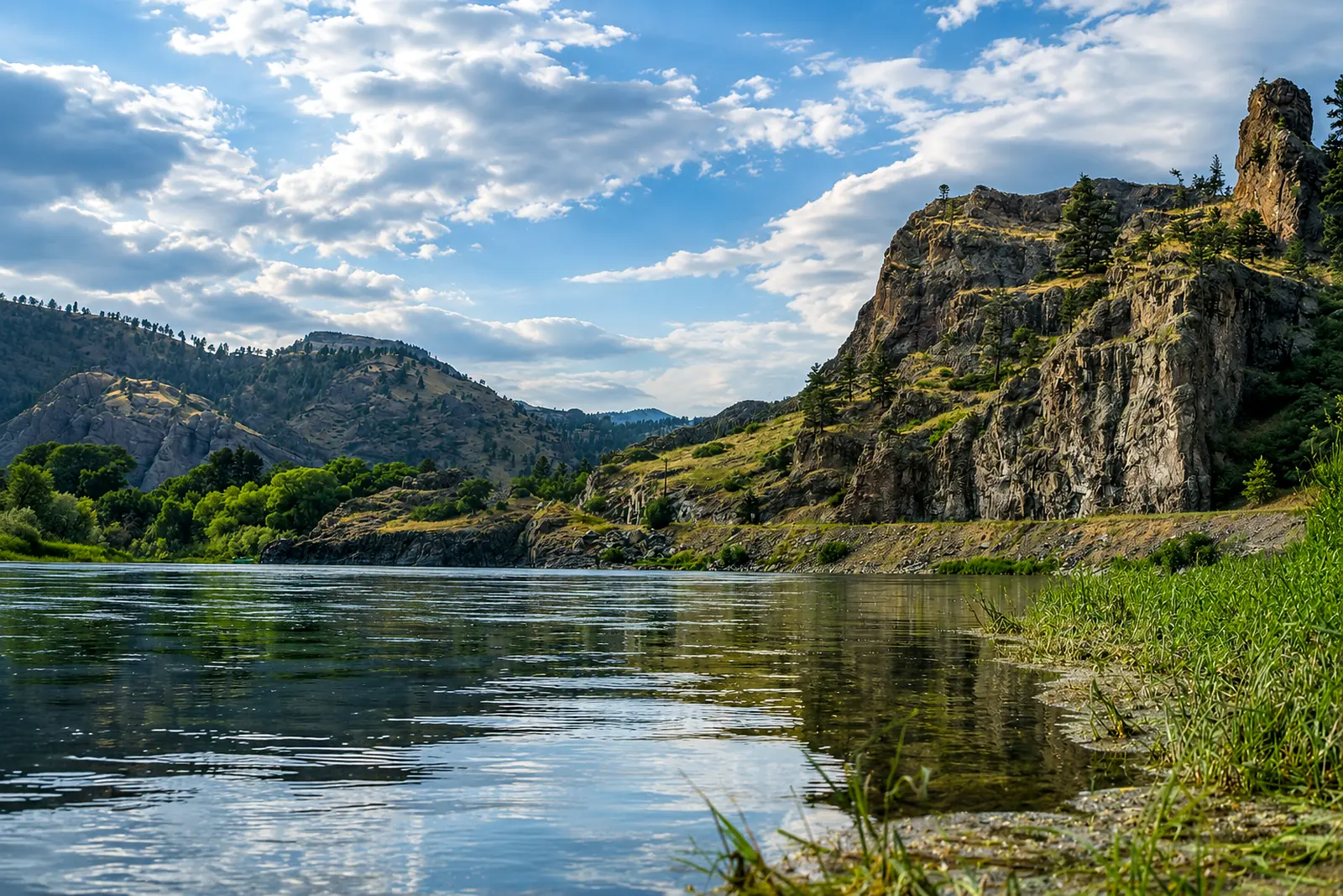 Missouri — Below HolterMissouri River · TailwaterLive flow Water temp
 -
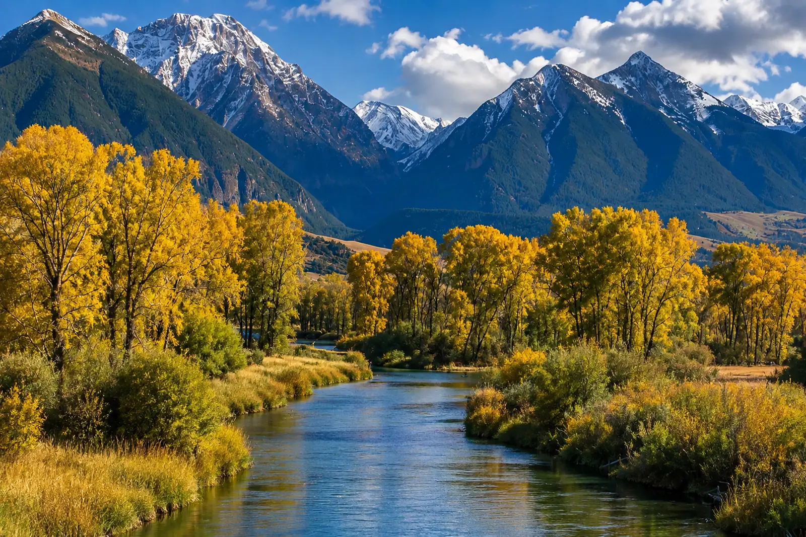 Yellowstone — Paradise ValleyYellowstone River · FreestoneLive flow Water temp Free in full
Don't see your river?
Ask for it from inside the app. Requests are grouped by river and decide what RiverFinn investigates next — whether a water can be supported depends on gauges, thermometers and agency sources, so demand alone never adds one.
Every one of these, in your pocket.
Two waters per state in full for free; RiverFinn Pro opens the rest.